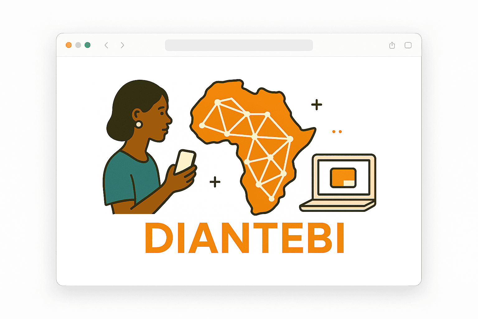
Diantebi creates impactful digital solutions
Building technology that empowers communities and connects individuals across Africa and beyond.
15+
Projects Completed
5
Startups We Empowered
10+
Years Experience
2
AI models built
We build innovative technology for Africa's future
Based in Senegal, we are a team of passionate software architects and engineers focused on building impactful digital solutions that address real-world challenges facing African communities.
Our expertise spans from web and mobile applications to geographic information systems and data analysis platforms, all designed with a focus on sustainability and positive impact.
Innovation
Cutting-edge solutions
Impact
Technology for good
Innovative Digital Solutions
GIS Solutions
Geographic information systems and interactive mapping platforms for data visualization.
Remote Sensing
Advanced satellite imagery analysis and processing for any specific domain, transforming raw data into actionable insights.
Mobile Development
Cross-platform mobile applications that deliver seamless user experiences.
Web Development
Modern, responsive web applications built with the latest technologies and frameworks.
AI Agents
Intelligent autonomous agents that automate complex tasks and provide personalized assistance using advanced AI.
RAG Systems
Retrieval-Augmented Generation systems that combine knowledge bases with generative AI for accurate, context-aware information delivery.
Transformative Digital Solutions
Discover our three groundbreaking platforms that are reshaping government operations, rural electrification, and urban development across Africa.
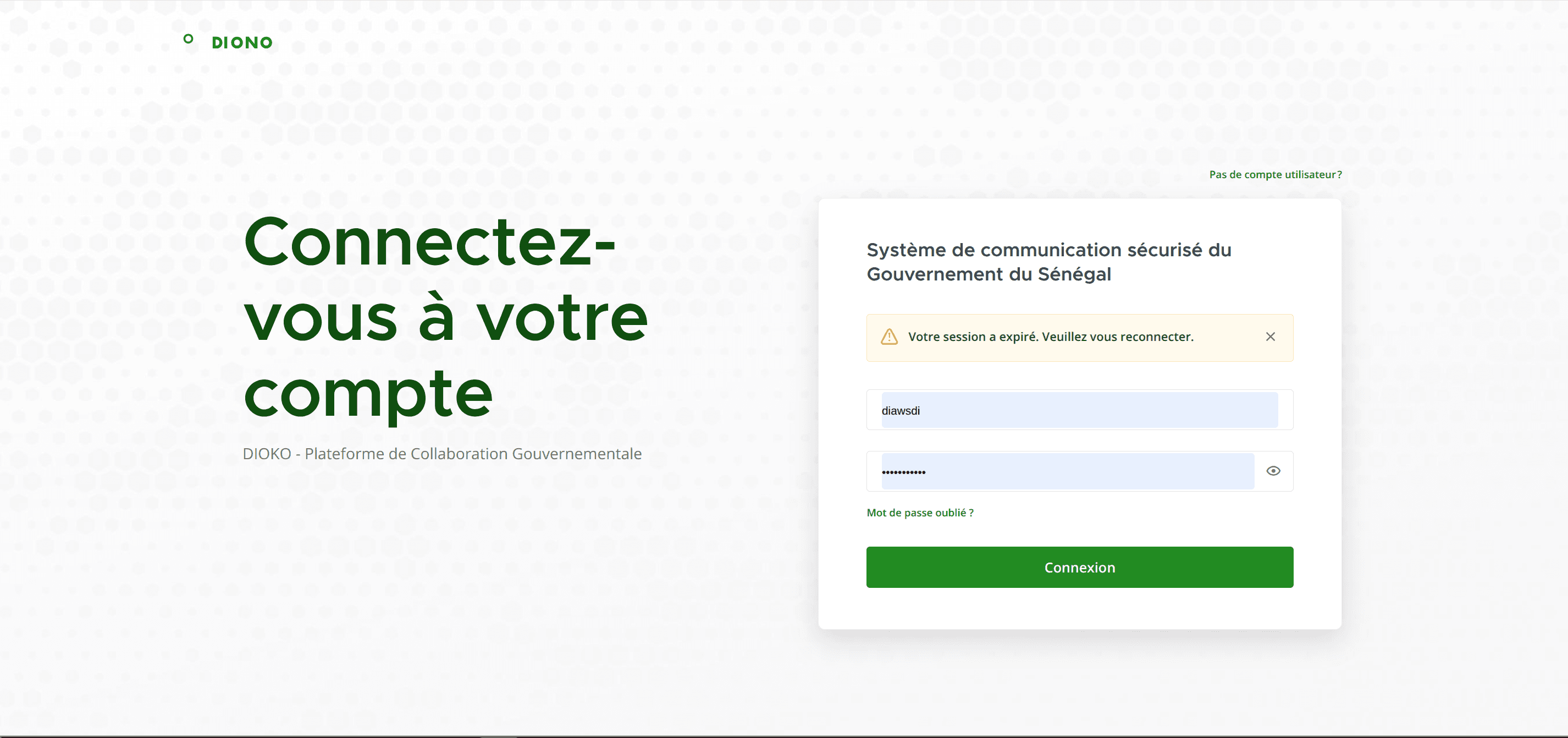
DIOKO
Sovereign Digital Workspace
DIOKO revolutionizes government operations by enabling seamless inter-ministerial collaboration through secure Teams, organized Channels, and automated workflow tasks. The platform provides structured digital environments where ministries can coordinate on complex initiatives while maintaining full auditability and compliance standards.
Key Features
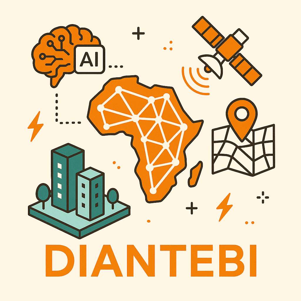
Remote Sensing AI Solutions
Building AI Models That Change Lives
Our founders previously worked with energy companies developing AI models that estimate energy demand and predict electrification access across different regions. They've also gained experience with agricultural technology startups, building advanced remote sensing solutions that transform satellite imagery into actionable insights.
Agriculture
Experience working in the agricultural field with machine learning models for crop analysis.
Energy
Advanced models that estimate energy demand and predict electrification access to guide planning in underserved regions.
At Diantebi, we're ready to apply our expertise to any domain that can benefit from advanced remote sensing and AI solutions. Our team is equipped to partner with clients across various industries, customize our approach to their specific challenges, and deliver powerful solutions that transform complex data into clear, actionable insights for decision-makers.
Other Innovative Projects
Explore our diverse portfolio of digital products designed to solve real-world challenges across various industries.
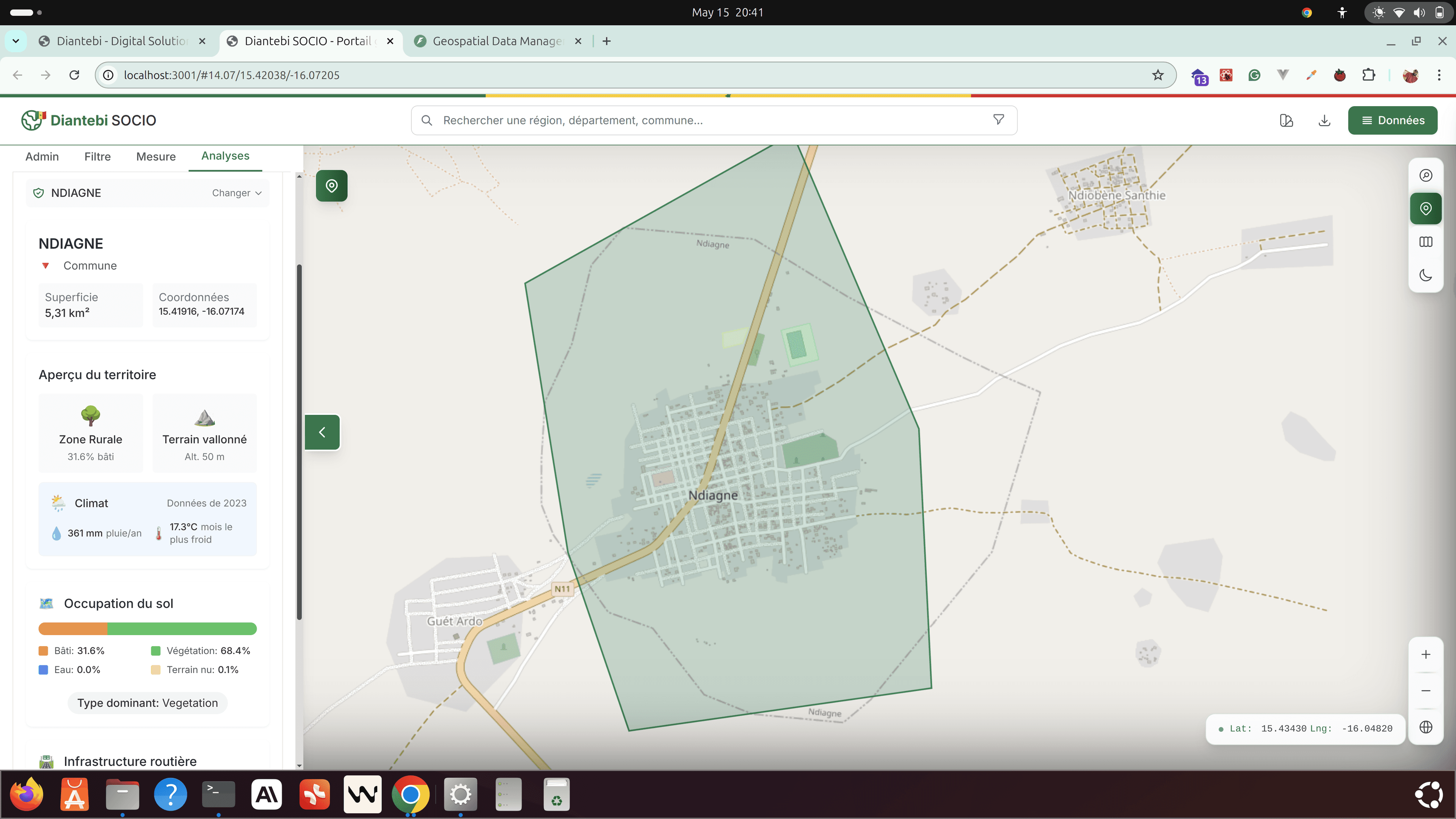
Diantebi Socio
Interactive map of administrative & socio-infrastructure data across regions, providing valuable insights for government agencies and development partners. An open-source solution for social data visualization.
Key Features:
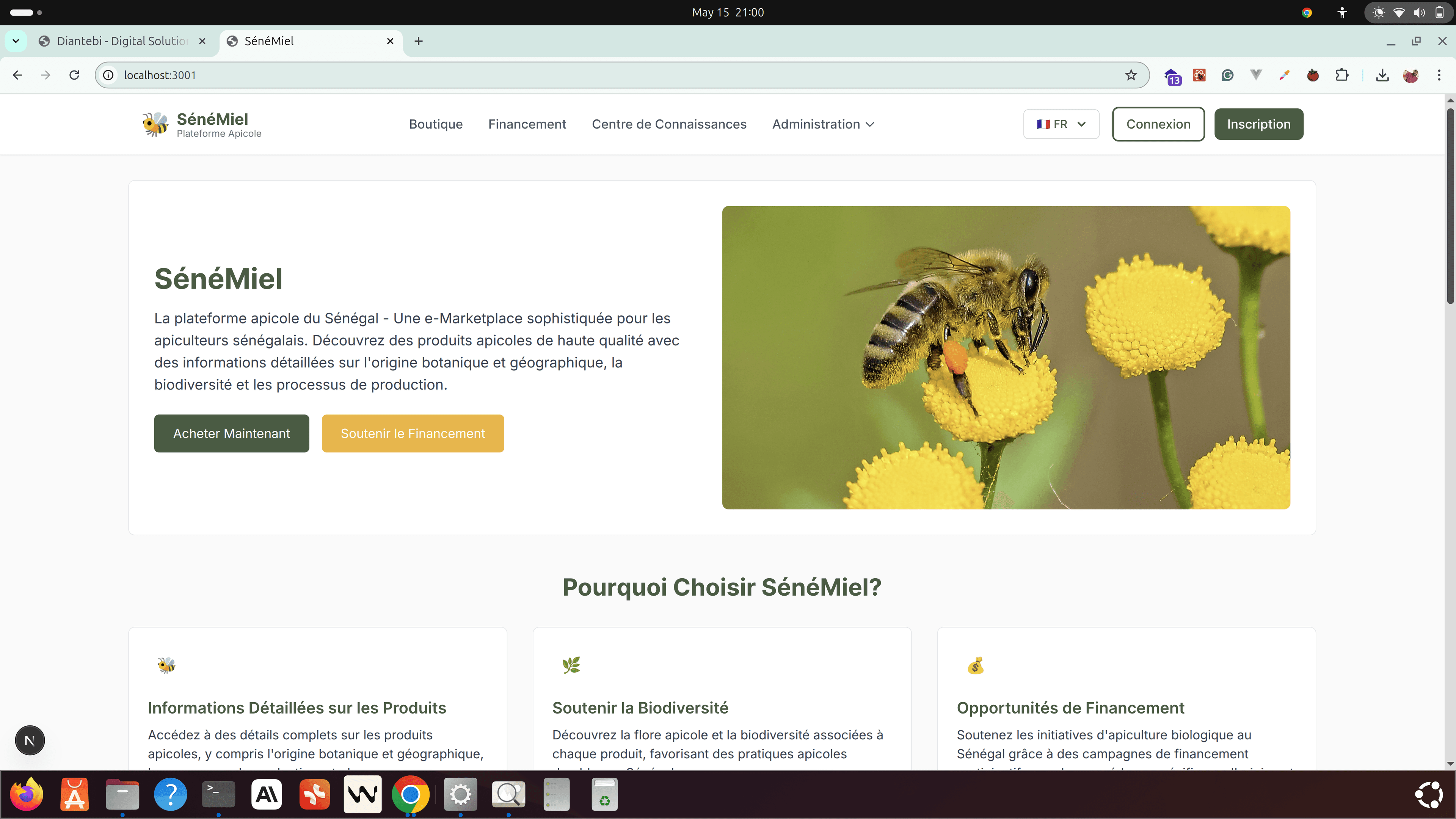
SénéMiel Web
E-marketplace connecting beekeepers with buyers, featuring weather monitoring to optimize honey production and quality control across Senegal.
Key Features:

Diengo
Stunning portfolio site for photographers with advanced image management, client galleries, and integrated booking system with elegant animations.
Key Features:

SénéMiel Mobile App
Companion mobile application for beekeepers to monitor hives, track weather conditions, and manage orders on the go with offline capabilities.
Key Features:

Diantebi Field
Mobile application to record social geospatial data of a country, facilitating data collection for schools, hospitals, and other critical infrastructure. An open-source solution for field data collection.
Key Features:
Looking for custom solutions tailored to your specific needs?
Let's Discuss Your ProjectPowerful Tech Stack
We leverage cutting-edge technologies to build scalable solutions for complex geospatial challenges.
Geospatial Tools
GDAL
Geospatial Data Abstraction Library
GeoPandas
Python tools for geographic data
Rasterio
Geospatial raster data access
Shapely
Geometric objects manipulation
QGIS
Open source GIS application
MapBox
Location data platform
Database & Storage
BigQuery
Serverless data warehouse
PostgreSQL
Open source relational database
PostGIS
Spatial database extender
GCP
Google Cloud Platform
AWS S3
Simple Storage Service
Firebase
App development platform
Backend Technologies
Flask
Python web framework
Django
High-level Python framework
C++
High-performance computing
Martin Tile
Map tile server
FastAPI
Modern Python API framework
Node.js
JavaScript runtime
Data Engineering
Dataflow
Stream/batch data processing
Cloud Run
Serverless container platform
Apache Sedona
Distributed spatial data processing
Dask
Parallel computing library
Airflow
Workflow management platform
Kafka
Event streaming platform
AI & ML Tools
Vertex AI
ML model development & deployment
Earth Engine
Planetary-scale geospatial analysis
TensorFlow
Machine learning framework
PyTorch
Deep learning framework
scikit-learn
Machine learning toolkit
CUDA
Parallel computing platform